
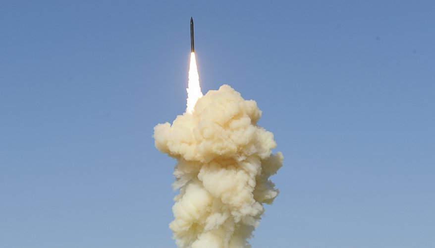
Monitoring missile activity from space has become a crucial aspect of global security and defense. With the rapid advancement of artificial intelligence, the way analysts interpret satellite images has changed dramatically. Today, how AI processes satellite imagery for missile activity is at the forefront of technological innovation, enabling faster, more accurate detection and assessment of potential threats. This article explores the methods, challenges, and real-world applications of AI-driven analysis in this sensitive domain.
For those interested in how machine learning is applied to related defense technologies, you might also want to read about how AI identifies the type of fuel used in a missile launch, which offers further insight into the intersection of AI and missile monitoring.
The Evolution of Satellite Image Analysis
Traditionally, analyzing satellite imagery for missile-related activity relied heavily on human expertise. Analysts would manually inspect high-resolution images, searching for signs such as unusual vehicle patterns, construction of launch pads, or the presence of missile transporters. While effective to an extent, this approach was time-consuming and prone to human error, especially when dealing with vast amounts of data.
With the integration of AI-powered image processing, the landscape has shifted. Machine learning algorithms can now scan thousands of images in a fraction of the time, flagging potential missile activity with impressive accuracy. This shift not only accelerates response times but also reduces the risk of missing critical developments.
Core Techniques: How AI Processes Satellite Imagery for Missile Activity
Modern AI systems employ a range of techniques to interpret satellite data. At the heart of these systems are deep learning models, particularly convolutional neural networks (CNNs), which excel at recognizing patterns and objects in visual data. Here’s how these technologies work in practice:
- Object Detection: AI models are trained to identify specific features associated with missile operations, such as launch vehicles, fuel trucks, or support infrastructure. By comparing new images with vast libraries of labeled data, the system can quickly highlight anomalies.
- Change Detection: By analyzing images taken at different times, AI can spot subtle changes in a landscape—such as the sudden appearance of equipment or alterations to a launch site—that may indicate missile preparations.
- Semantic Segmentation: This technique allows AI to classify each pixel in an image, distinguishing between roads, buildings, vegetation, and military assets. Such granular analysis improves the precision of threat assessments.
These advanced methods allow for the rapid identification of suspicious activity, even in environments where adversaries attempt to conceal their operations.
Challenges in Automated Missile Detection
Despite the promise of AI, several challenges remain in the automated analysis of satellite images for missile-related threats:
- Data Quality: Satellite images can be affected by weather, atmospheric conditions, or low resolution, making it difficult for algorithms to distinguish between benign and threatening activity.
- Camouflage and Deception: Adversaries may use decoys, camouflage nets, or underground facilities to hide missile assets, complicating detection efforts.
- False Positives: Even the best AI models can misclassify civilian infrastructure or natural features as military targets, leading to unnecessary alarms.
- Continuous Learning: As adversaries adapt their tactics, AI systems must be regularly updated with new data to maintain their effectiveness.
Addressing these challenges requires a combination of technical innovation and close collaboration between AI developers and domain experts.
Real-World Applications and Case Studies
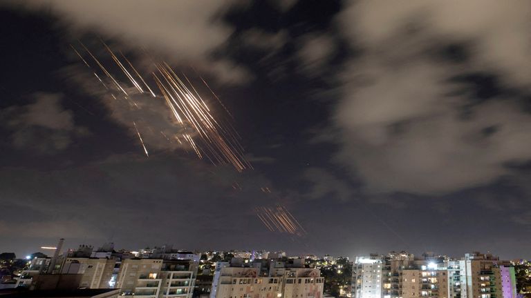
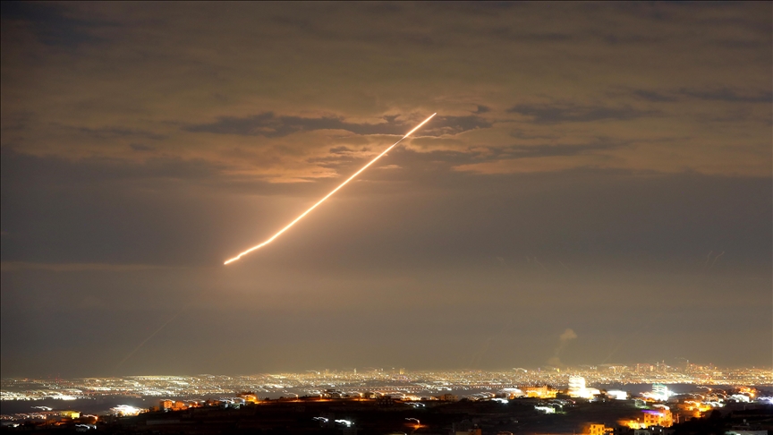
AI-driven satellite analysis is already making an impact in defense and intelligence communities worldwide. For example, during periods of heightened tension, automated systems have been used to monitor known missile bases, track the movement of mobile launchers, and provide early warnings of potential launches. These capabilities are invaluable for decision-makers who need timely, reliable information.
In addition to military applications, AI-powered analysis is also being used by independent organizations and researchers to verify compliance with international treaties and monitor global security trends. This democratization of satellite intelligence has increased transparency and accountability on the world stage.
For a deeper dive into how AI is revolutionizing the sensing of otherwise invisible threats, see this detailed exploration of AI in remote sensing.
Integrating AI with Other Defense Technologies
AI’s role in satellite image analysis is part of a larger trend toward automation and intelligent decision-making in defense. For instance, integrating AI-driven imagery analysis with real-time sensor telemetry can further enhance situational awareness. To learn more about these synergies, you can explore how AI detects subtle anomalies in sensor telemetry, which complements the imagery-based approach.
Moreover, AI’s ability to process vast data streams from multiple sources—including radar, infrared, and communications intercepts—enables a more comprehensive understanding of missile threats. This multi-modal approach is essential for staying ahead in a rapidly evolving security environment.
Benefits and Future Prospects of AI-Driven Missile Monitoring
The advantages of using AI for satellite-based missile monitoring are significant:
- Speed: Automated systems can analyze and interpret images in real time, providing early warnings that are critical for national defense.
- Accuracy: Advanced algorithms reduce human error and improve the reliability of threat assessments.
- Scalability: AI can handle the ever-increasing volume of satellite data, ensuring no area of interest is overlooked.
- Adaptability: Machine learning models can be retrained as new threats and tactics emerge, maintaining their relevance over time.
Looking ahead, the combination of AI, improved satellite sensors, and cloud-based analytics platforms promises even greater capabilities. As technology advances, the ability to detect, track, and respond to missile activity from space will only become more robust and precise.
Frequently Asked Questions
How does AI distinguish between missile activity and civilian infrastructure in satellite images?
AI models are trained on large datasets containing labeled examples of both military and civilian objects. By learning the unique visual signatures of missile-related assets—such as launch pads, support vehicles, and fuel tanks—AI can differentiate them from common civilian structures. Continuous model refinement and expert oversight help minimize misclassifications.
What are the main limitations of using AI for missile monitoring via satellite imagery?
Key limitations include image quality issues (such as cloud cover or low resolution), the use of camouflage or deception by adversaries, and the possibility of false positives. AI systems also require regular updates to remain effective against evolving tactics and technologies.
Can AI-based satellite analysis be used for treaty verification and non-military purposes?
Yes, AI-powered analysis is increasingly used by international organizations and independent researchers to monitor compliance with arms control agreements and to track global security trends. The technology’s ability to process large volumes of data quickly makes it valuable for both military and non-military applications.